The Road to Faster, More Accurate Capture
The Lincoln Road upgrade project is one of Auckland Transport’s largest upgrade projects.
To help de-risk the upgrade and provide data-certainty, asBuilt were engaged to provide high-density terrestrial laser scanning and a registered point-cloud database. These would become the foundation data set for the new multi-works programme.

%20-%20Infrastructure%20PC.jpg?width=1912&name=150513%20-%20Lincoln%20Road%20-%20MWH%20(8)%20-%20Infrastructure%20PC.jpg)
Partners
Auckland Transport & Consulting Partners
Scale
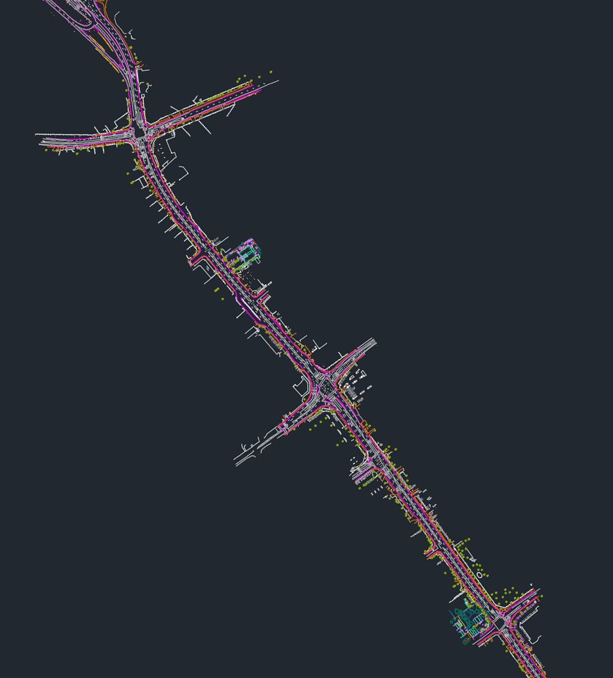
Over 3km of busy arterial road network surveyed
Services
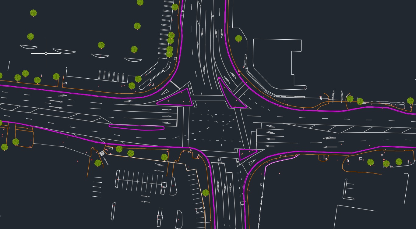
Capture - GPS, Typography Survey including 3D HD Scanning to create AutoCAD deliverables
Problem
On a very limited timeframe on one of the busiest roads in Auckland, New Zealand, asBuilt had to complete the capture process without road closures.
Solution
Using point cloud scanning lasers, asBuilt were able to capture the entire three kilometres of roading without stepping foot onto the roadway.
Outcomes
- All stakeholders access ONE digital source of truth
- No road closures
- Saved hundreds of thousands of dollars for the client
Why
To assist consulting teams on Lincoln Road work from an accurate digital twin of the proposed upgrade works. Traditional surveying could not be achieved without road closures and this was not an option. Traditional methods would have taken weeks at a significant cost to the taxpayer. Lincoln Road is the busiest arterial route in West Auckland, New Zealand. It is used by 45,000-48,000 vehicles per day.
What
Success was achieved by combining asBuilt's knowledge of survey methodologies and BIM/ digital engineering software to extract data directly from the point cloud to produce CAD outputs.
- Single, high density registered point cloud to be used for multiple years throughout the entire works programme
- Proof of workflow – since this project asBuilt has refined and automated more of the process to give an even smoother transition between site and office outputs
