An Iconic
Heritage Building
 Capture
Leading-edge Capture
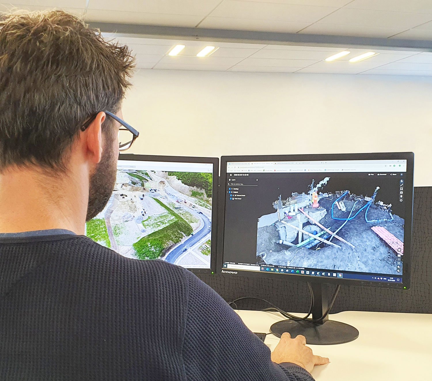
Utilising a variety of technology and methods, we specialise in the digital capture and survey of the built environment.
Successful capture creates the foundation to deploy a ‘digital twin’ of building information for analysis, communication and optimal design deliverables.
During capture the design environment and protocols are created for the design team, aligning them to a single 3D spatial intelligence platform from the outset.

asBuilt Capture Methodologies
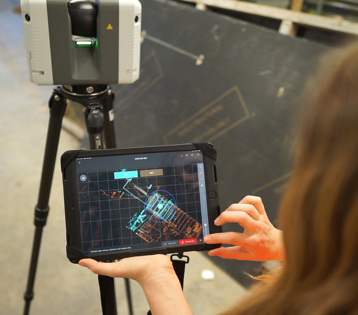
Laser Scanning
This is the process of capturing High Definition Scans (HDS) to create Point Clouds. asBuilt founded its business on laser scanning and is recognised leader of the technology its successful applications and workflows.
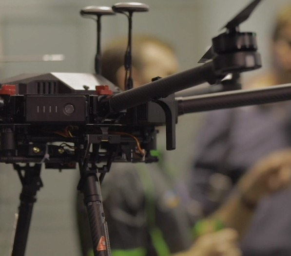
DRONE CAPTURE
At asBuilt we utilise drones (UAV's), high-resolution photography and GPS to capture, survey and inspect worksites and physical assets. Drone capture provides an efficient method to cover large areas quickly.
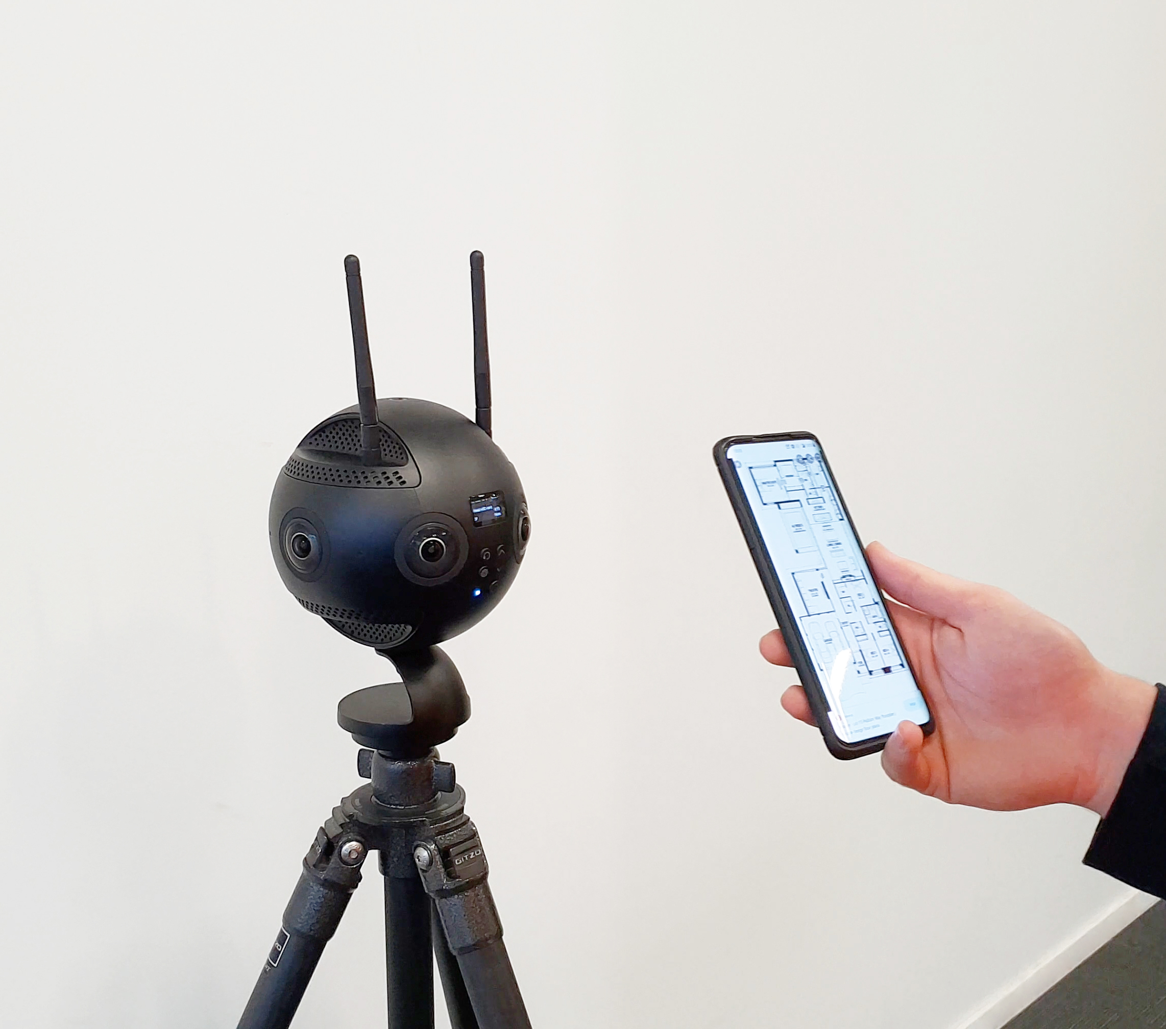
360˚IMAGERY
We use 360-degree high resolution photography to create a virtual image record of an internal or external environment. We then spatially map this to other project information providing much richer data sets.
VIRTUAL SURVEY
We replace a traditional survey plan with a full digital survey. Through the use of virtual survey marks we can compare two data sets which enables us to extract highly accurate data from the digital capture records.
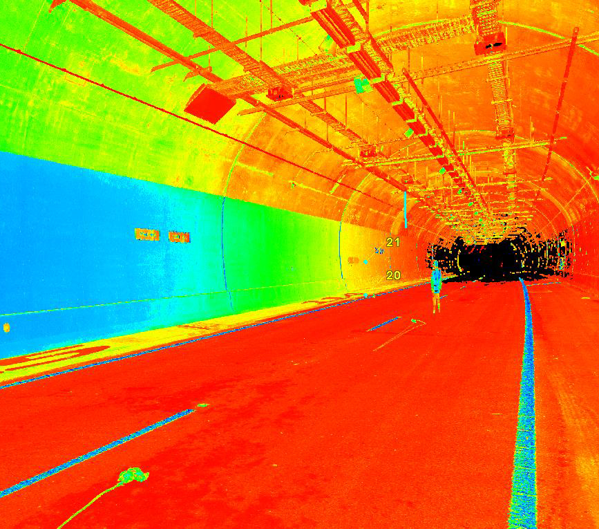
PROCESSING
Using the latest capture software programmes, we stitch large point clouds and virtual surveys together to provide millimetre accurate reference points. These set the foundation for a digitally correct spatial model.
Helpful Capture Tools

Capture Capability Statement
Download asBuilt's Capture Capability
Statement set
Want to connect with asBuilt?
Talk To Us